Mapping is an important step in Wisconsin's broadband planning efforts. The Wisconsin Broadband Office (WBO) works with providers, communities, the federal government and additional stakeholders to gather data and develop maps. These maps and data depict the current state of internet coverage and drive future deployment planning. If you would like to contribute to this effort, please email the mapping team at
PSCBroadbandData@wisconsin.gov.
If you want to report on your internet service, complete the
WISER survey and speed test.
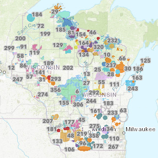
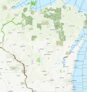
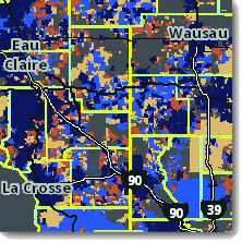 Wisconsin Broadband Map
The mapping tool provides an easy interface to help answer the questions: “Do I have broadband service? If not, when will I get it? Who are my providers?" Users can search by address to identify service status at their location, internet service providers, and broadband technology types and advertised speeds. In addition to service availability, the broadband map also shows information about ongoing projects to bring service to unserved areas funded through state or federal programs.
Updated on February 18, 2026 to show data as of June 30, 2025.
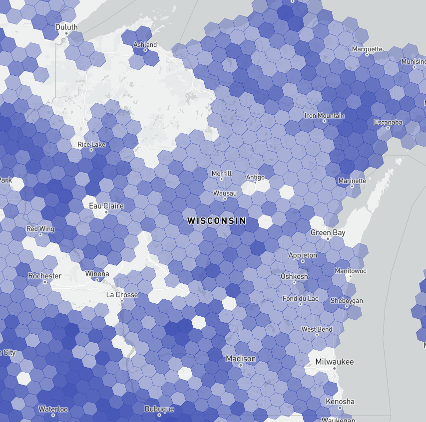
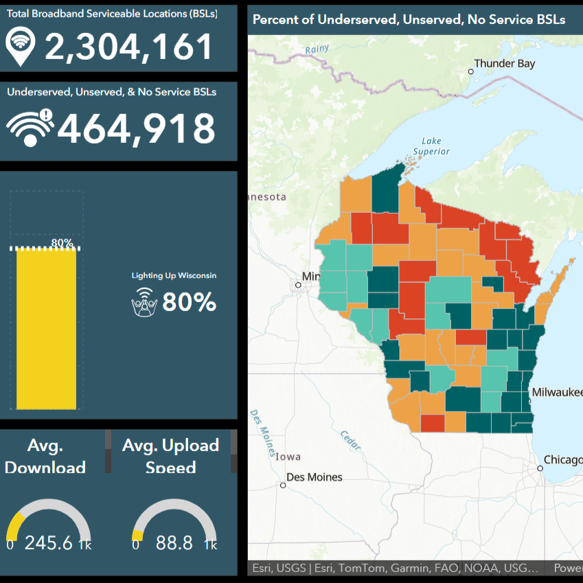 Wisconsin Broadband Almanac
This tool displays summary statistics on broadband access, affordability, and adoption statewide, including progress towards internet for all, information on cost burden, and internet usage.
Updated on March 3, 2026.
Wisconsin Broadband almanac
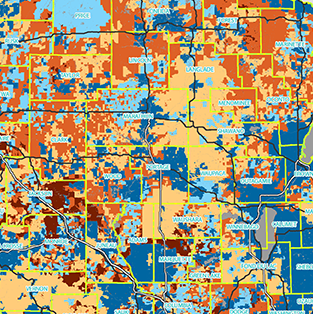
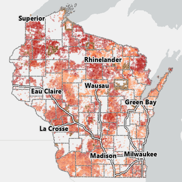 Wisconsin Broadband Expansion Grant Map
This mapping application displays presumptively eligible locations for the Fiscal Year 2026 Wisconsin Broadband Expansion Grants. Supporting data including in-progress broadband projects, the technologies serving those projects, internet speed tests, and Broadband Grant Footprint provide context to for a targeted locations layer.
Updated on May 18, 2026.
Wisconsin Broadband expansion Grant Map
 Wisconsin BEAD Awardees Map
This tool displays the awarded recipient and technology for each location planned to be constructed under the federal Broadband Equity, Access, and Deployment (BEAD) Program. Awards have been approved by the National Telecommunications and Information Administration.
Updated: December 3, 2025.
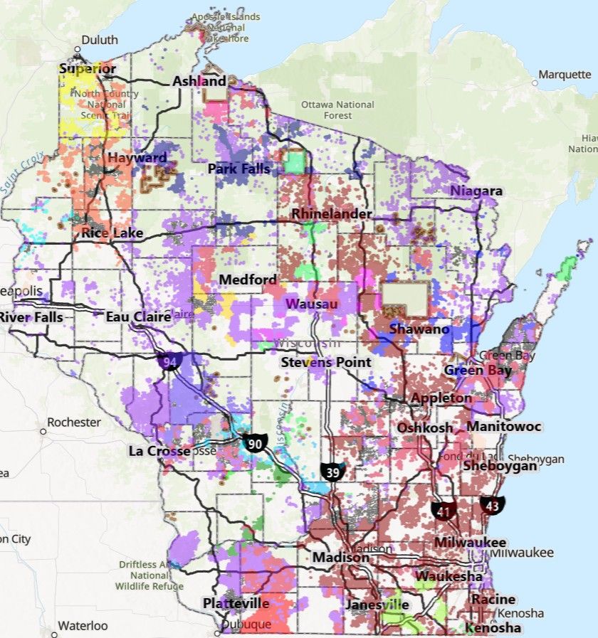
 Broadband Grant Footprint
This mapping tool provides a look at the impact of broadband grant projects statewide. Users can search for grants in their area of interest by performing an address search and navigating the map. Grant projects can be looked at individually and in groups based on the grant round and technology type. A swipe bar tool is available to view completed projects separately from all in progress projects. Move the swipe bar to the right to view all completed projects and to the left to view all awarded projects.
Updated on May 20, 2026.
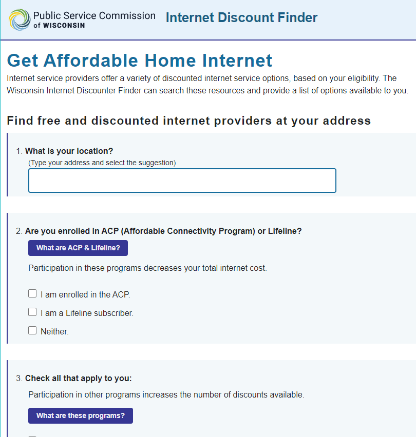 Internet Discount Finder
Internet service providers offer a variety of discounted internet service options based on your location and eligibility. The Wisconsin Internet Discounter Finder can search these resources and provide a list of options available to you. In addition to discounted service options this finder incorporates the Affordable Connectivity Program.
Last updated in 2023. Verify current discount availability with individual internet providers.
Visit WBO's
Consumer Resources page for information on the Affordable Connectivity Program and other resources not in the Internet Discount Finder.
Federal Agency Maps
The following maps provide data on FCC funding and national coverage data.
 National Broadband Funding Map
Visit the National Broadband Funding Map to see awarded federal funds from the Federal Communications Commission, U.S Department of Agriculture, and National Telecommunications and Information Administration. Search by address or download spatial data directly.
National Broadband Funding Map
 FCC Broadband Map
Visit the National Broadband Map to see information about internet availability. Search by address to see internet providers serving your location, or see summary data at other geographic levels.
FCC Broadband Map
 NTIA Permitting and Environmental Information Application
Visit the NTIA Permitting and Environmental Information Application to see potential permitting jurisdictions and understand environmental impacts of potential projects.
NTIA Application
Map Archive
The following maps contain historical data.
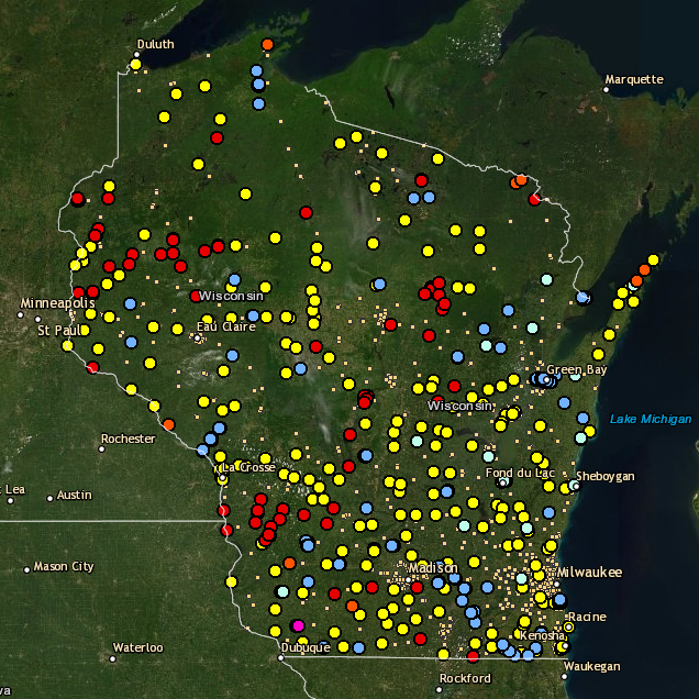 Wisconsin Public WiFi Locations Map: 2020
This mapping tool displays public WiFi locations that have been self-reported by entities and indivuduals to the PSC. The map displays hundreds of locations where citizens can go to use WiFi.
Charter and
Comcast/Xfinity also have mapping tools displaying their own WiFi locations in Wisconsin communities.
Last updated in Spring 2020. Verify current public WiFi availability with individual locations. Other providers may host their own WiFi location maps.
WiFi Locations Map
 View and Print Internet Coverage Maps: 2019
Derived from a 2019 update of the Wisconsin Broadband Map, these PDFs display internet access for counties and legislative districts across the state. In addition to coverage data, a local summary of Broadband Expansion Grant winners is included. Download any of these 200+ maps for sharing with fellow citizens or for personal reference.
Select a map from the menus below.